About Us
Who We Are
The Saugeen Anishnaabek have been living in our home on and near the Saugeen (Bruce) Peninsula for as long as our history remembers. Through our treaties with the Crown, we agreed to share part of our land with people who have come from all around the world.
As Anishnaabek people, we are subject to Anishnaabe law and are ever mindful of our duty to be stewards of our land. The people of the Saugeen Ojibway Nation established the Environment Office to make it easier for us to fulfill this duty.
For our community members, you will find this website can help you keep informed about the work that our office is doing, and stay in touch with our staff.
For others, this website provides a wealth of information on ways that the Saugeen Ojibway Nation are acting to protect our land. We encourage you to take advantage of the resources offered here to inform yourself of our policies, especially if you are planning on undertaking any kind of development project here that may impact on our lands, waters, resources or culture. SON will drive the process of consultation, using our own criteria.
We look forward to working with you in a respectful and mutually beneficial relationship.

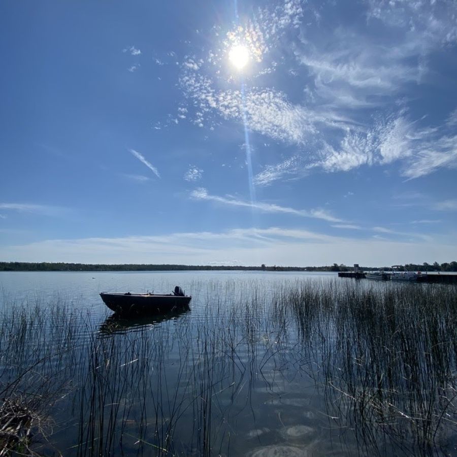
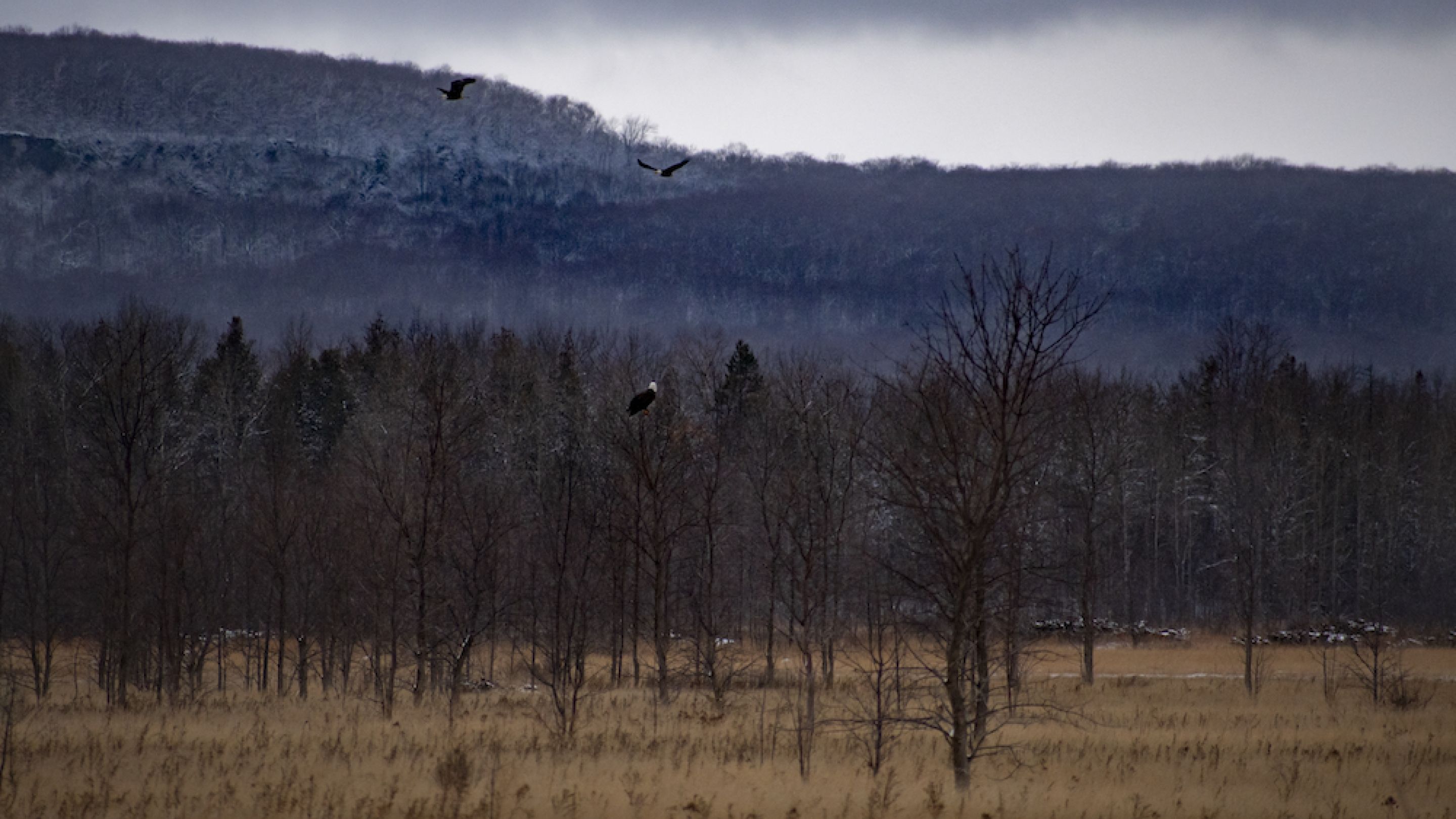
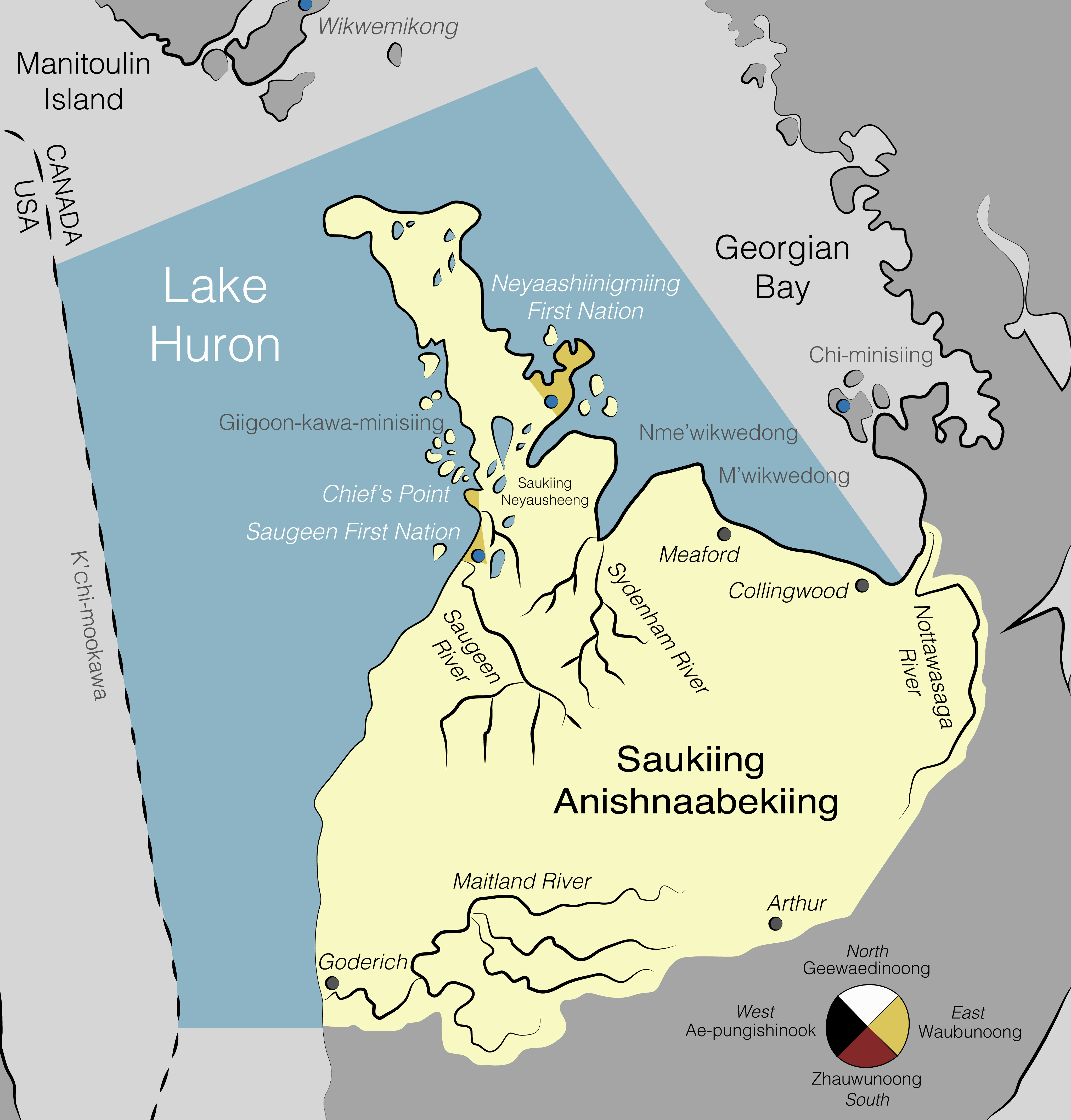
SON Traditional Territory
Our History
The Saugeen Anishnaabek occupied a land base of about two million acres prior to the arrival of the British. This area included a point presently known as the Town of Arthur, extending west to Lake Huron and north to Georgian Bay. The Royal Proclamation of 1763 was created to protect First Nations land in North America. The Proclamation was meant to halt or at least slow down European settlement.
Regardless, the European encroachment and promise of land on Manitoulin Island convinced the Saugeen Anishnaabek to surrender all land south of Owen Sound. In 1847, Queen Victoria issued a Royal Declaration which confirmed the Saugeen Anishnaabek held the Saugeen Peninsula, which was given as a line between Southampton and Owen Sound and included any islands within seven miles of the coast.
In 1850, the Government of Canada passed an act to protect First Nations land against squatters and loggers. These legal documents have done little to protect native lands. In the following year, the Government of Canada and the Saugeen Ojibway signed the Half-Mile Strip Treaty, where over 4,000 acres was surrendered for a road to join Owen Sound and Southampton.
Laurence Oliphant, Superintendent General for Indian Affairs, negotiated Treaty No. 72 with the Saugeen Anishnaabek in 1854. In the Treaty, the Saugeen Anishnaabek ceded a little less than 500,000 acres of the peninsula. In exchange, they were to receive proceeds from all lands sold to be held in trust, as well the remaining reserves would be protected from encroachment. The remaining reserves were Chief’s Point, Saugeen Reserve (Owen Sound), Colpoy’s Bay Reserve (Big Bay), and Cape Croker Indian Reserve No. 27, as well as the Fishing Islands in Lake Huron, Cape Hurd islands, and three islands at the entrance to Colpoy’s Bay.
When the 10,000 acre Nawash Reserve to the west of Owen Sound was surrendered in 1857, the residents were to move to Cape Croker, but many did not want to. In 1861, the Colpoy’s Bay Reserve (6,000 acres) was surrendered. Some moved to Cape Croker and Southampton, but the majority moved to Christian Island. Finally, the Fishing Islands, Cape Hurd Islands, Griffith Island, Hay Island and White Cloud Island were surrendered from 1885 to 1899. It took until 1968 for approximately 90 fishing islands in Lake Huron to be returned to the Saugeen Anishnaabek.